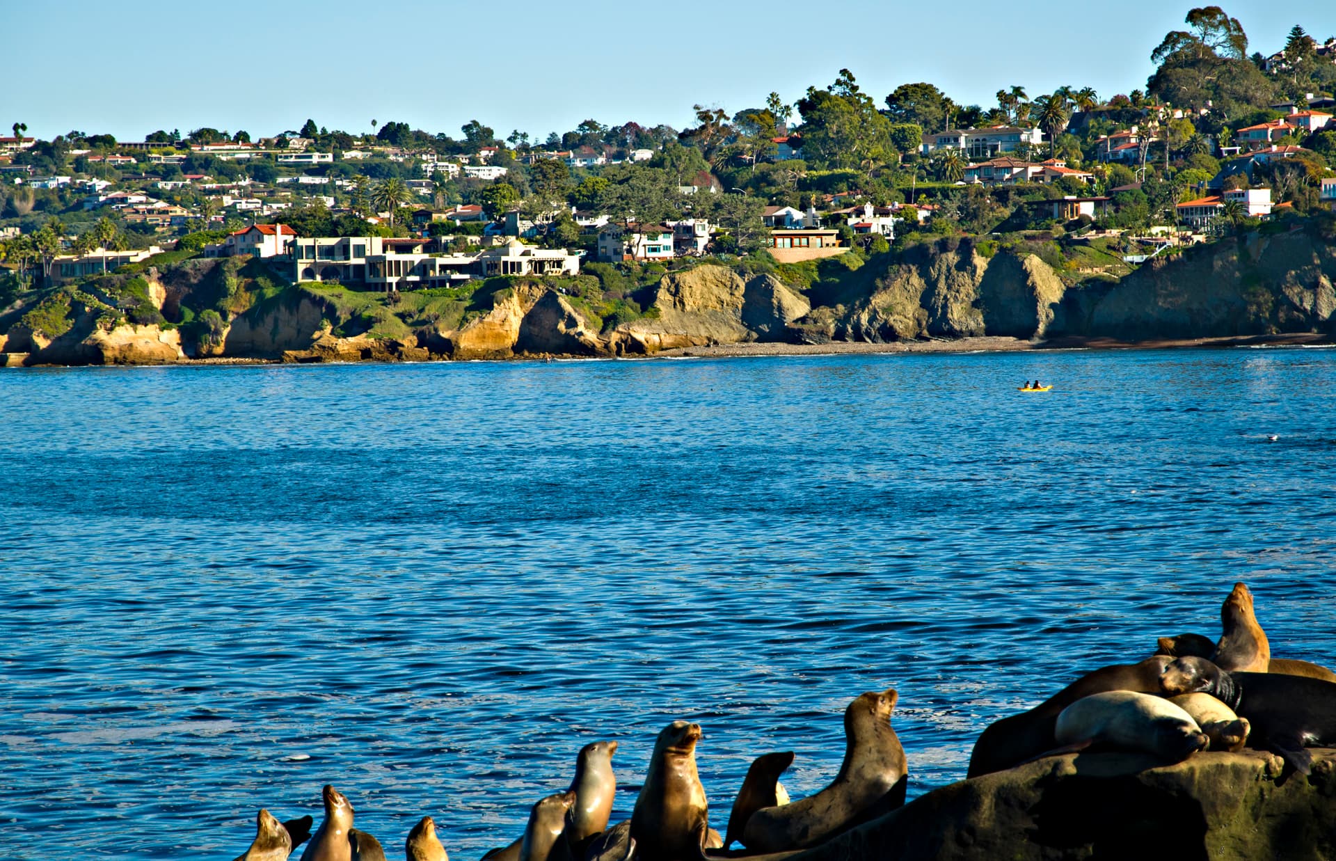
Long before the Spanish galleons arrived, the Kumeyaay people knew the land around the dry coastal bluffs as Kosa’aay, the drying out place.
Before the bay was given a Spanish saint, it was known to its people as Kosa’aay—the "drying out place." On a terrace of dry earth overlooking the slow-moving waters of the river that would one day share its name, thirty or forty families of the Kumeyaay lived in pyramid-shaped structures of willow and tule, sustained by a fresh spring that bubbled from the nearby hillsides. For nearly ten thousand years, human life here had adapted to a delicate, semi-arid equilibrium. The climate was remarkably even, a Mediterranean balance of cool coastal fog and warm, dry interior winds, but water was always a precious, elusive currency. To the north, the Luiseño speakers knew this coastal shelf as Pushuyi; to the generations who fished the kelp beds and gathered seeds in the sagebrush, the landscape was intimate, named, and complete.
The first rupture in this isolation arrived not by land, but from the gray horizon of the Pacific. In September 1542, three small ships under the command of Juan Rodríguez Cabrillo, a Portuguese navigator sailing for the Spanish Crown, dropped anchor in the lee of the high peninsula that protects the harbor from the ocean swells. Cabrillo called the place San Miguel. He stayed only six days, noted the excellence of the natural harbor, and sailed north into the mist, leaving behind a claim on a map that Spain would ignore for more than half a century. When the next European sails appeared in November 1602, it was under Sebastián Vizcaíno, a merchant-explorer who was systematically renaming the California coast to curry favor with his patrons in Mexico City. Vizcaíno surveyed the sweeping harbor, the shallow inner waters of what is now Mission Bay, and the high finger of Point Loma. On his calendar, the feast of Saint Didacus of Alcalá—a fifteenth-century Spanish Franciscan friar—was close at hand. He called the bay San Diego de Alcalá, and with that gesture, the ancient village of Kosa’aay was written into the ledger of the Spanish Empire.
Yet for another century and a half, the name remained a phantom on Spanish charts. It was not until 1769 that the global anxieties of the Spanish court—specifically, rumors of Russian and British expansion down the Pacific coast—transformed San Diego from a cartographical footnote into a geopolitical necessity. The conquest of Alta California was conceived not as a grand military invasion, but as a desperate, shoestring joint venture of the sword and the cross. Four separate expeditions—two by sea, two by land—were dispatched from New Spain and the Baja peninsula to converge on the distant bay.
The seaborne parties arrived first, ravaged by scurvy. The , carrying the cartographer Miguel Costansó and the soldier Pedro Fages, and the , commanded by Juan Pérez, sat in the harbor like ghost ships, their crews too weak to pitch tents on the shore. In May, the first overland party arrived, led by Fernando Rivera and accompanied by the Franciscan chronicler Juan Crespí. Finally, in July, the military governor Gaspar de Portolá arrived with the second land party, which included the frail but indomitable Franciscan friar Junípero Serra. On a hill rising above the Kumeyaay village of Cosoy, Portolá established a rudimentary military fort, the Presidio of San Diego. A few days later, on July 16, 1769, Serra raised a wooden cross and celebrated the mass that founded the Mission San Diego de Alcalá. This dual outpost of empire, perched precariously on a dry hill above an indigenous village, was the first permanent European settlement on what is now the West Coast of the United States. It was the southern anchor of the , the royal road that would eventually stitch twenty-one missions along the California coast.
+ 7 further connections to entries not yet ingested
The reality of this "birthplace of California" was far from heroic. The early years of the San Diego settlement were defined by hunger, disease, and deep cultural friction. The Kumeyaay did not submit easily to the demands of the Spanish mission system, which sought to transform them into agricultural laborers and Catholic neophytes. In 1775, a major Kumeyaay revolt erupted, culminating in the burning of the mission and forcing the Franciscans to rebuild their sanctuary six miles upriver, away from the immediate protection of the Presidio’s cannons. Yet, despite this violent beginning, the Spanish system eventually ground down local resistance. By the turn of the nineteenth century, the relocated mission had become the most populous in Alta California, with over fourteen hundred native converts living and working within its agricultural orbit.
When Mexico won its independence from Spain in 1821, San Diego drifted into a new era of secularization and neglect. The military garrison at the Presidio dwindled, its adobe walls slowly melting back into the hillside as the soldiers and their families moved down to the flat land below, establishing a small pueblo of adobe houses that would become known as Old Town. Under Mexican rule, the vast mission lands were carved up and granted to politically connected families and retired soldiers, giving rise to the grand ranchos that dominated the local economy. San Diego became a port of trade, particularly for the global hide and tallow industry. Though Mexican law officially forbade foreign trade, American vessels regularly anchored in the deep harbor to trade manufactured goods for cattle hides, which the sailors called "California leather." It was this trade, immortalized in Richard Henry Dana’s 1840 memoir Two Years Before the Mast, that first introduced the American public to the strategic value of the San Diego harbor—the only truly protected anchorage south of San Francisco.
That strategic value made San Diego an inevitable target when the United States went to war with Mexico in 1846. The transition to American rule was swift but messy. American forces easily occupied the town in the summer of 1846, only to be driven out by a fierce Californio counter-rebellion that blockaded the American garrison inside the Old Town pueblo for weeks. In December of that year, the conflict reached a bloody climax in the nearby San Pasqual Valley, where Californio lancers under Andrés Pico inflicted a devastating defeat on the exhausted U.S. Army dragoons commanded by General Stephen W. Kearney. It was the worst defeat suffered by American forces during the California campaign, though a relief column from San Diego eventually rescued Kearney’s men. By 1848, the Treaty of Guadalupe Hidalgo ended the war, ceding Alta California to the United States. Mexican negotiators fought hard to keep San Diego within Mexico, but the American delegation, fully aware of the bay’s commercial potential, insisted on drawing the international border one league south of the southernmost tip of San Diego Bay.
Upon its incorporation as an American city in 1850, San Diego was a frontier settlement in search of a center. The historic core of Old Town was too far from the water to serve as a modern commercial port. An early attempt by William Heath Davis to build "New San Diego" closer to the bay shore failed, leaving behind little more than a lonely pier and an army depot. For decades, the town remained an isolated outpost, briefly serving as the western terminus of the San Antonio-San Diego Mail Line—an arduous thirty-day stagecoach journey from Texas—before falling into a deep economic slumber. By the late 1860s, the population of the old pueblo had dwindled to nearly nothing.
The turning point came in 1867 with the arrival of Alonzo Horton, an energetic land promoter from San Francisco. Horton looked at the empty, brush-covered flatlands along the bay shore and saw a metropolis. He purchased thousands of acres of waterfront property and aggressively marketed "New Town" (modern-day downtown San Diego) as the future of the region. As businesses and residents abandoned Old Town for the deep-water access of the new waterfront, the economic gravity of the region shifted permanently. The arrival of the Santa Fe railway system in 1885 finally connected San Diego to the rest of the nation, sparking a spectacular real estate boom that transformed a dusty border town into a thriving modern city.
By the dawn of the twentieth century, San Diego had begun to assume the dual identity that would define it for the next hundred years: a sun-drenched haven for health-seekers and tourists, and a vital node of American military power. Its incredibly equable climate and natural beauty attracted sanatoriums, botanical gardens, and even utopian experiments like the Theosophical Institution of the Universal Brotherhood on Point Loma. Simultaneously, the deep, protected harbor that had first drawn Cabrillo and Vizcaíno became the foundation for a permanent partnership with the United States Navy, which established coaling stations, garrisons, and eventually massive naval bases along the bay.
Today, San Diego stands as the eighth-most populous city in the United States, its economy anchored by biotechnology, international trade, and military defense. Yet its geographical reality remains defined by the same borders drawn in the nineteenth century. As the northern half of the San Diego–Tijuana transborder metropolitan area, the city is inextricably linked to the nation directly to its south, forming a shared cultural and economic landscape of five million people. The San Ysidro Port of Entry, the busiest international land border crossing in the world outside of Asia, is a daily reminder that the line dividing the two nations is both a barrier and a bridge. On the dry coastal hills where the Kumeyaay once gathered near the freshwater springs of Kosa'aay, the modern city remains, as it has been since 1769, a place where different worlds meet, collide, and inevitably merge.