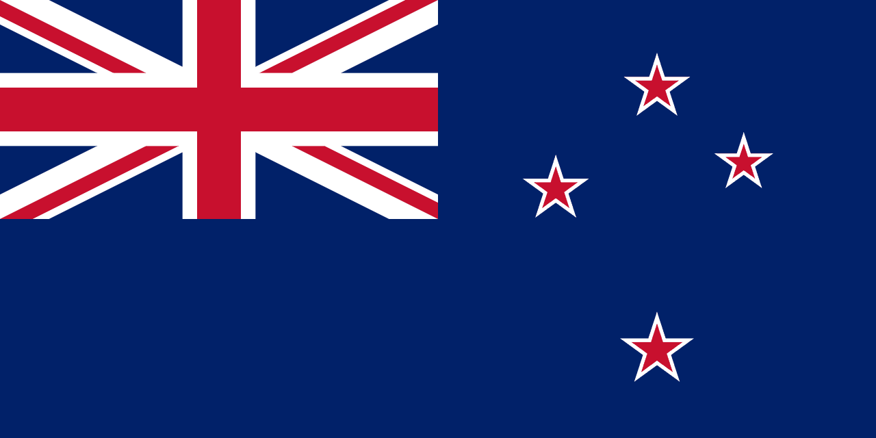
To trace the paths of human expansion across the globe is to end at the edge of the southwestern Pacific, where two main landmasses and hundreds of smaller islands form New Zealand.
On a clear day in the late nineteenth century, a vessel of the Royal Navy sliced through the waters of the southwestern Pacific, carrying orders from London that the Secretary of State for the Colonies had signed with distinct reluctance. The destination was the Kermadec Islands, a scattering of volcanic rocks roughly one thousand kilometers northeast of Auckland. The British government, prodded by anxious officials in Wellington who feared the encroachment of rival foreign empires in their hemisphere, had finally agreed to annex these isolated outposts. In 1886, the British flag was hoisted over the rugged terrain of Raoul Island, securing a territory that imperial administrators in England dryly noted was unlikely to be of "any possible use" to the colony. Yet this act of maritime boundary-marking, born of colonial anxiety, eventually pushed the nation’s northern reaches to the twenty-ninth parallel south latitude. Decades later, following the 1982 United Nations Convention on the Law of the Sea, these seemingly useless rocks would secure for the island nation one of the largest exclusive economic zones on the globe—a vast watery empire flanking a land shaped by fire, isolation, and late human arrival.
New Zealand was the last major habitable landmass on Earth to feel the footprint of humanity. While continental civilizations rose, fractured, and rebuilt over millennia, the two great islands of Te Ika-a-Māui and Te Waipounamu—the North and South Islands—lay silent in the southwestern Pacific, flanked by the Tasman Sea to the west and the open ocean to the east. It was only between 1280 and 1350 CE that Polynesian voyagers, navigating by stars, swells, and the flight of birds, guided their ocean-going waka through the surf. According to oral histories, the explorer Kupe first chased a giant octopus across these waters, discovering a land of high, forested peaks and thermal valleys, which his descendants would settle in planned, deliberate waves. The society they built, the Māori, developed in splendid isolation. They carved a existence out of the varied topography: the North Island, a geothermal basin of boiling mud pools, geysers, and active volcanic cones like Ruapehu and Ngauruhoe; and the South Island, dominated by the formidable spine of the Southern Alps, Kā Tiritiri o te Moana, where glaciers carved deep fjords into the southwestern coast. To the Māori, these islands were Te Ika-a-Māui, the great fish hauled from the deep by the demigod Māui, and Te Waipounamu, the waters of prized greenstone.
This isolation ended abruptly with the arrival of European sail. Abel Tasman first sighted the high coast in 1642, leaving a bloody encounter with the Ngāti Tūmatakōkiri and a name on European maps: Nova Zeelandia, after the Dutch maritime province. Over a century later, in 1769, James Cook mapped the coastline, opening the islands to a flood of whalers, sealers, and traders. This contact brought the potato and the musket, two imports that fundamentally upended Māori life. The potato provided an agricultural surplus that freed tribes to wage longer, more distant campaigns, while the musket transformed traditional skirmishes into the devastating Musket Wars, which claimed tens of thousands of lives between 1801 and 1840. Simultaneously, introduced European diseases tore through populations lacking immunity, reducing the indigenous population to a mere fraction of its pre-contact strength.
+ 12 further connections to entries not yet ingested
To impose order on a frontier characterized by lawless European beachcombers and warring tribes, Britain dispatched James Busby as British Resident in 1832. Seeking protection from potential French colonial designs, a confederation of northern chiefs issued the Declaration of Independence of New Zealand in 1835. Yet the legal ambiguity of this declaration, coupled with the aggressive land-purchasing schemes of the private New Zealand Company, forced the British Crown to seek a more formal arrangement. On February 6, 1840, at the Bay of Islands, British officials and Māori chiefs signed the Treaty of Waitangi. Designed to establish British sovereignty while guaranteeing Māori possession of their lands and resources, the treaty’s translation discrepancies immediately sowed the seeds of future conflict. While the English text asserted a transfer of sovereignty, the Māori version, Te Tiriti, promised the preservation of chieftainship (tino rangatiratanga). Impatient with the slow gathering of signatures, Captain William Hobson declared British sovereignty over the entirety of the islands on May 21, 1840.
The decades that followed were marked by the rapid displacement of the indigenous population. As settlers poured in from Great Britain, friction over land ownership and sovereignty sparked the New Zealand Wars of the 1840s through the 1860s. Backed by imperial troops and the Royal Navy, the colonial government suppressed Māori resistance and subsequently confiscated vast tracts of tribal land. By 1865, the seat of colonial power was moved from Auckland to Wellington, chosen for its central location on Cook Strait to prevent the southern settlers, enriched by gold rushes and sheep farming, from breaking away to form a separate colony.
Despite the violence of its frontier expansion, the young colony rapidly transformed into a laboratory for radical social and economic experimentation. Self-governing by 1856, New Zealand’s political landscape shifted dramatically in 1891 with the election of the Liberal Party, the country's first organized political force. Under the long premiership of Richard Seddon, the government implemented pioneering reforms. New Zealand became the first nation in the world to establish a state-mandated minimum wage and, in 1893, the first to grant women the right to vote. This reputation as a progressive, highly organized state was mirrored in its administrative machinery; by the early twentieth century, publications like the New Zealand Official Year-Book meticulously documented a thriving society of dairy farms, public schools, state-run sanatoriums at thermal springs like Rotorua, and a rapidly expanding infrastructure.
The nation walked a steady path toward sovereignty throughout the twentieth century. It became a Dominion within the British Empire in 1907 and eventually adopted full statutory independence in 1947, though it chose to retain the British monarch as its head of state. Yet, the legacy of colonial-era land confiscations and structural inequalities remained a persistent shadow over the nation's high standard of living. By the late twentieth century, the state was forced to reckon with the historic grievances of the Treaty of Waitangi, even as it embarked on a sweeping restructuring of its state apparatus. During the 1980s, the government dismantled its traditional protectionist economic model, transforming New Zealand into one of the most deregulated, free-trade-oriented service economies in the world.
Today, the Realm of New Zealand extends far beyond the dramatic, wind-swept shores of the North and South Islands. Its administrative reach encompasses the self-governing Pacific territories of Niue and the Cook Islands, the dependent territory of Tokelau, and the frozen expanses of the Ross Dependency in Antarctica. The modern nation of five million people remains defined by the dual heritage of its origins: the ancient Polynesian seafaring tradition that first recognized the long white cloud on the horizon, and the British colonial framework that sought to map, codify, and govern it. It is a society that continues to balance its reputation as an egalitarian social pioneer with the ongoing, complex work of reconciliation between its indigenous Māori and later immigrant populations.