Concept · Trans Saharan Trade
trans-Saharan trade
- Also known as
- Biashara ya ng'ambo ya Sahara
- comercio transahariano
- Comerciu transahariano
- comerç transsaharià
- Commerce trans-saharien
- Commerce transsaharien
Before the Sahara became an ocean of sand, it was a landscape of herders, cattle, and pottery, captured in ancient rock art dating back to 3500 BCE.
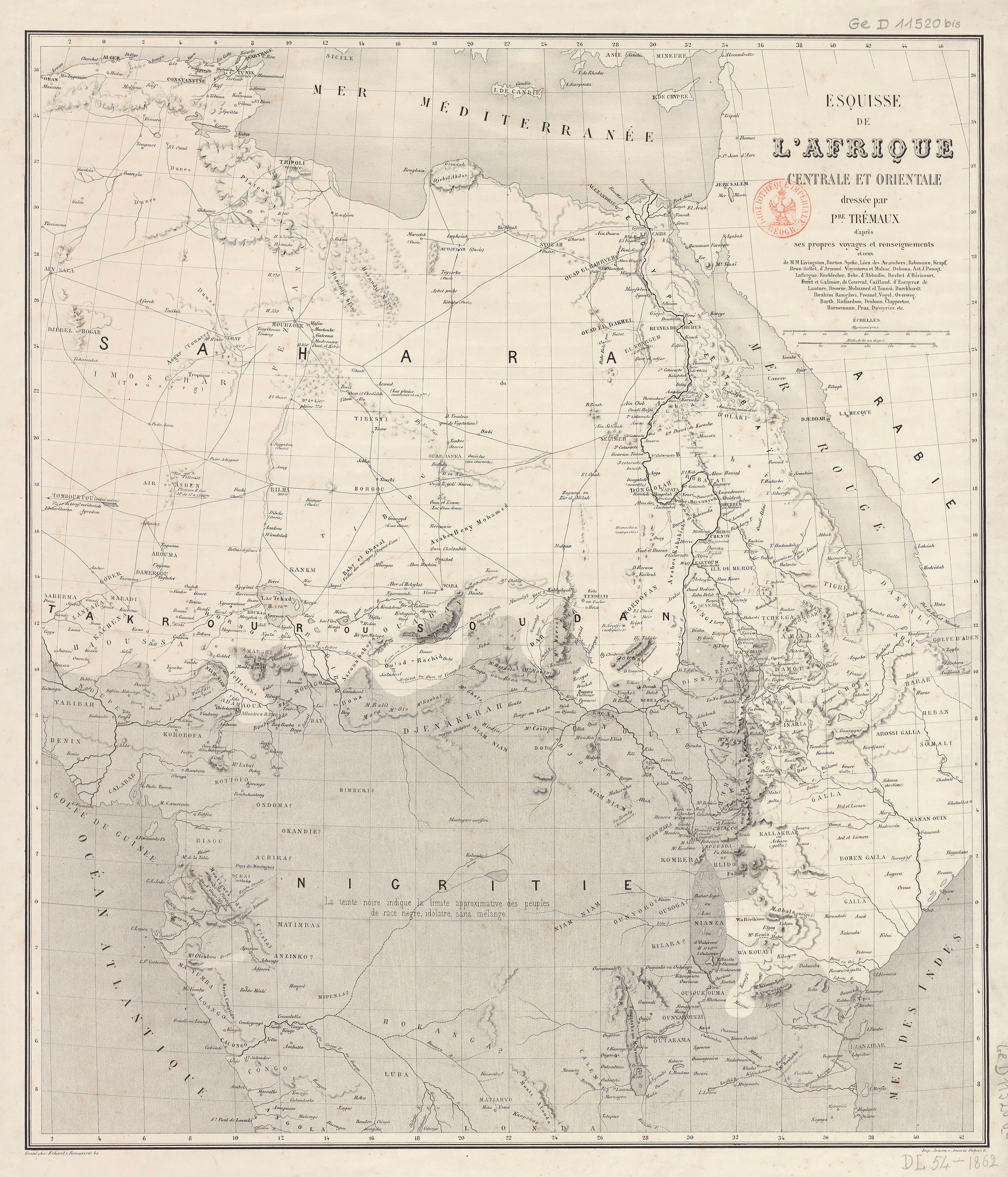
In Libya and Algeria, deep within the dry expanses of the modern desert, rock paintings dating from 3500 to 2500 BCE depict a lost world of lush flora and fauna that could not survive a single day in the contemporary Sahara. Millennia before the desert became a barren barrier, pastoralists herded sheep, goats, and eventually cattle through a green, hospitable landscape. But as the climate shifted and the earth parched, the Sahara transformed into a hostile expanse separating the Mediterranean economy from the fertile basin of the Niger River. Crossing this formidable void without mechanized transport was a deadly gamble, one that was only undertaken when the expected rewards outweighed the immense risks. The result was a network of shifting pathways—not merely lines on a map, but a fragile, living infrastructure of guides, oases, and pack animals that bridged two distinct worlds.
Long before the camel revolutionized desert travel, ancient peoples chipped away at the edges of the dry wilderness. Predynastic Egyptians of the Naqada I period traded with Nubia to the south and the western oases to secure obsidian from as far away as Senegal. To the east, the overland route through the Wadi Hammamat connected the Nile to the Red Sea as early as 4000 BCE, leaving behind drawings of reed boats carved into the rocks. Further west, the Garamantes, a powerful pastoralist people based in the Fezzan of Libya, controlled three central routes as early as 1500 BCE. Operating from their capital of Germa, they launched raids southward into the Sahel and northward toward the Mediterranean coast, eventually trading with Carthage after its founding around 800 BCE. The Garamantes pioneered the trans-Saharan slave trade, capturing cave-dwelling peoples to the south to build and maintain their own subterranean irrigation networks, while also supplying Mediterranean markets. When Rome absorbed Carthage, the legions secured these routes, establishing customs taxes on a thriving trade in gold, ivory, and exotic household slaves prized in Roman villas. Yet, for all their ambition, these early traders were limited. Relying on horses and oxen, they were bound to the shortest, most water-rich paths, unable to penetrate the deepest, most punishing stretches of the great sand seas.
The true integration of the trans-Saharan trade routes arrived in the third century CE with the introduction of the domesticated camel. Acclimatized to arid environments, the camel allowed Berber tribes to venture far beyond the traditional oases, forging regular contacts across the entire width of the desert. When the Islamic conversion of North Africa took hold in the seventh and eighth centuries, these pathways coalesced into two dominant arteries. The western route ran from Morocco down to the great bend of the Niger River, while the eastern route linked modern Tunisia to the basin of Lake Chad. Traveling across these routes required immense coordination and specialized expertise. Caravans typically averaged a thousand camels, but under exceptional circumstances, they could swell to as many as twelve thousand. They were led by highly compensated Berber guides who possessed an intimate knowledge of the shifting sands and negotiated safe passage through the territories of hostile desert nomads. Because no caravan could carry enough water for the entire journey, survival depended on a system of forward runners. These runners were dispatched days ahead of the main body to secure water from oases like Oualata and haul it back to meet the parched travelers still struggling through the dunes.
Connected to
3 links to entries not yet ingested in the Library.